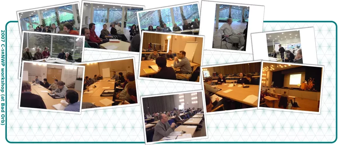
Seventh International Workshop on Non-Hydrostatic Modelling
5-7 November 2007, Bad Orb (Germany)
Here you will find and download the presentations; after them see the workGroup reports.
1. Presentations

5-7 November 2007, Bad Orb (Germany)
Here you will find and download the presentations; after them see the workGroup reports.

N. Wood, M. Diamantakis, A. Staniforth, Met Office, Exeter, UK ⬇
M. Diamantakis, T. Davies, N. Wood, Met Office, Exeter, UK ⬇
M. Tolstykh, R. Fadeev, Russian Academy of Sciences, Moscow, Russia ⬇
W. Skamarock, NCAR, Boulder, CO, USA ⬇
G. H. Bryan, NCAR, CO, USA ⬇
A. Gassmann, M. Giorgetta, P. Korn, H. Wan, MPI, Hamburg J. Förstner, Th. Heinze, H.-J. Herzog, D. Majewski, M.-P. Ripodas, DWD, Germany ⬇
J. Steppeler, Bad Orb, Germany ⬇
M. Baldauf, DWD, Offenbach, Germany ⬇
S. Lock, A. Coals, A. Gadian, Univ. of Leeds, UK; H.- W. Bitzer, U. Schättler, DWD; J. Steppeler, Univ. of Bonn, Germany ⬇
H. Yamazaki, T. Satumura, Division of Earth and Planetary Sciences, Univ. of Kyoto, Japan ⬇
J. Förstner, M. Baldauf, DWD, Offenbach, Germany ⬇
O. Knoth, IfT, Leipzig, Germany ⬇
D. Leuenberger, MeteoSwiss, Zürich, Switzerland ⬇
M. Milan, C. Simmer, Univ. of Bonn, Germany ⬇
Z. Sokol, IAP / ASCR, Prague, Czech Republic ⬇
K. Stephan, C. Schraff, DWD, Offenbach, Germany ⬇
I. Zuurendonk, D. van Dijke, Meteo Consult BV, Wageningen, Netherland ⬇
C. Lac, T. Maric, J.-P. Pinty, S. Malardel, J. Pergaud, CNRM / GAME and CNRS/UPS, Toulouse, France ⬇
K. Aranami, K. Takenouchi, T. Fujita, H. Kurahashi, H. Nakayama, Numerical Prediction Division, Tokyo, Japan ⬇
J. A. Milbrandt, R. McTaggart-Cowan, Numerical Weather Prediction Research Section, Environment, Canada ⬇
K. De Sanctis, R. Ferretti, F. Marzano, M. Montopoli, Univ. of L'Aquila; L. Molini, A. Parodi, F. Siccardi, CIMA-Univ., Italy ⬇
L. Gerard, RMIB, Brussel, Belgium ⬇
G. Zängl, Univ. of Munich, Germany ⬇
J. B. Klemp, NCAR, Boulder, Colorado, USA ⬇
A. Morgillo, C.Marsigli, F. Grazzini, ARPA-SIM, Meteo-Hydrological Service of Emilia- Romagna, Bologna, Italy ⬇
J.Trentmann, H. Wernli, Univ. of Mainz; U. Corsmeier, P. Groenemeijer, J. Handwerker, M. Kohler, A. Wieser, IMK, Karlsruhe; A. Behrendt, M. Radlach, V. Wulfmeyer, Univ. of Hohenheim, Stuttgart, Germany ⬇
D. Rezacova, P. Zacharov, Z. Sokol, IAP ASCR, Prague, Czech Republic ⬇
A. Seifert, M. Baldauf, DWD, Offenbach, Germany ⬇
H. Noppel, U. Blahak, K.D. Beheng, IMK, Karlsruhe; A. Seifert, DWD, Offenbach, Germany ⬇
U. Blahak, IMK, Karlsruhe, Germany ⬇
Y. Ishikawa, T. Awaji, Y. Kiuchi, T. Satomura, Department of Geophysics, Kyoto University, Japan ⬇
A. T. Noda1, M. Satoh1,2, H. Tomita1,, T. Nasuno1, S. Iga1, H. Miura1, K. Oouchi1, Tokyo,1) Frontier Research Center for Global Change, Japan Agency for Marine-Earth Science and Technology; 2) Center for Climate System Research, The Univ. of Tokyo, Japan ⬇
H. Volkert, IPA, DLR, Oberpfaffenhofen, Germany ⬇
B. Brötz, J. Trentmann, H. Wernli, Univ. of Mainz, Germany ⬇
E. Richard, J.-P. Chaboureau, S. Argence and D. Gazen, CNRS/UPS, Toulouse, France ⬇
G. Zängl, Univ. of München, Germany ⬇
F. Ament, MeteoSchweiz, M. Koller, ETH Zürich, Switzerland ⬇
M. Terada, T. Satomura, Division of Earth and Planetary Sciences, Kyoto University, Sakyo, Kyoto, Japan ⬇
L. Torrisi, UGM/CNMCA, Pomezia, Italy ⬇
F. Ament, MeteoSwiss, Zürich, Switzerland ⬇
K. Saito, H. Seko, M. Kunii and M. Hara (Meteorological Research Institute/JMA);T. Hara and M. Yamaguchi (Numerical Prediction Division/JMA), Japan ⬇
H. Seko, K. Saito, M. Kunii, T. Hara, M. Kyouda , M. Yamaguchi, Meteorological Research Institute, Tsukuba, Ibaraki 305-0052, Japan; Numerical Prediction Division, Japan Meteorological Agency ⬇
N. van Lipzig, K. van Weverberg, T. Steegmans, Physical and Regional Geography Research Group; K. U. Leuven, Belgium; S. Crewell, Univ. of Cologne, Germany; L. Delobbe, Royal Meteorological Institute of Belgium; G. Haase, SMHI, Sweden ⬇
Michael Riedmann - Senior Performance Consultant, Hewlett-Packard GmbH, Berlin, Germany ⬇
M. Zimmer, M. Paulat, H. Wernli, Univ. of Mainz, T. Reinhardt, S. Crewell, Univ. of Cologne, Germany ⬇
K. Dengler, C. Keil, DLR, Oberpfaffenhofen, Germany ⬇
L. Molini , A. Parodi and F. Siccardi , K. De Sanctis , R. Ferretti , F. Marzano (1,3), M. Montopoli , Dipartimento di Fisica/CETEMPS, Univ. of L’Aquila, ITALY, CIMA-Univ. of Genoa, DIE- Univ. La Sapienza, Rome, Italy ⬇
R. Ahmadov, C. Gerbig, K. Dhanya, R. Kretschmer, S. Koerner, MPI for Biogeochemistry, Germany; B. Neininger, MetAir, Switzerland ⬇
C. Gebhardt, T. Winterrath, S. Theis, V. Renner, DWD, Offenbach, Germany ⬇
U. Damrath, DWD, Offenbach, Germany ⬇
Reporting of WG2 "Physical Parameterzation": pdf and WG1: pdf
Felix Ament, Ulrich Damrath, Klaus Dengler, Barbara Fay, Joe Klemp, Nicole van Lipzig, Chiara Marsigli, Marco Milan, Antonella Morgillo, Akira Noda, Antonio Parodi, Evelyne Richard, Takehiko Satumura, Hans Schipper, Hiromu Seko, Friedrich Theunert, Stefanie Wassermann, Heini Wernli, Tanja Winterrath, Matthias Zimmer
In Group 2, the discussion was very general and has touched numerous points. Mentioned here are only the points, which have trigged a substantial discussion.
With the point to point verifications methods (i.e. with the scores relating a grid point to an observing station), it is a well known fact that the higher the resolution of a model, the higher is the double penalty. The explanation is simple: high resolution models show more details, more isolated and distinct features, i.e. more possibilities to be wrong.
This fact renders the use of verification methods that are not affected by double penalty an absolute necessity. And such methods already exist:
The group arrived at the conclusion that - formulated in this way - it is not possible to answer that question, as the quality of a forecast can only be judged through the use that is made from this forecast. The same forecast could perfectly satisfy a user and be totally insufficient for another user working in a different field.
Verified by the traditional point to point methods at the respective scales of each model resolution, the high resolution forecasts will be worse.
When comparing precipitation forecasts between models with different resolutions, it is only meaningful to do it by upscaling the fields of the higher resolution models to the coarsest model resolution.
When this is done, it can be claimed - based on the experience accumulated until today - that the forecasts of wind and temperature computed at high resolution are better than the forecasts computed at the “upscaled” resolution (when the verification is made on this latter resolution).
Is this also the case for the precipitations? No participant could claim that the above statement would also be valid for the precipitations.
Note that there is another important reason to upscale high resolution model fields for verification: there are simply not enough observations at their resolution to carry out a reliable verification.
As it has not yet been reliably assessed that high resolution precipitations are of better quality than precipitations from coarser models, why do we continue to develop high resolution models? Or, more directly: where are the strengths of the high resolution, km-scale models?
All the participants in the discussion agreed that the acceptance of the probabilistic forecasts by the forecasters as well as by the professional users is progressing very, very slowly.
It seems that the greatest acceptance among the professional users is to be found by the hydrologists. It has been reported that in Italy(more precisely in the Regione Emilia-Romagna), ensemble forecasts for the ensemble hydrological forecasts are derived from the meteorological EPS.